Latitudinal assessment of burned area within the Argentinian Andean-Patagonian forest for the 2001-2019 fire seasons#
Team “Tyrannosaurus Tango Dolce”
Franco Barrionuevo, Raphael Rocha, Luciana Rojas, Ricardo Rengifo, Cristian Farfan
Mentor and reviewer: Brittany Engle

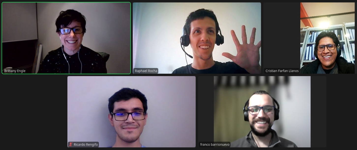
Fig. 2 Team “Tyrannosaurus Tango Dolce” and their mentor during a meeting#
The Argentinian Andean-Patagonian Forest (AAPF) is a highly biodiverse temperate forest in South America. This area is being threatened by the intensification of climatic conditions that favor the occurrence of fires. However, assessing AAPF burned areas is challenging due to a high climatological and geographic variability. Previous analyses were focused on smaller regions. In this study, a latitudinal (north to south) characterization of the burned area distribution in the AAPF region is proposed. Satellite-derived burned area data was analyzed for the 2001-2019 fire seasons. Two key areas impacted by fires were identified, highlighting the northern AAPF as the most affected region. This study also revealed the intricate relationship between fires and climatic and geographic variability. The results of this assessment can serve as a basis for future research on climate change impacts and fire risk prediction in AAPF, emphasizing the need for informed conservation strategies in this ecologically important region.
For the full micropublication: https://doi.org/10.5281/zenodo.12206635
For the presentation link on Latitudinal assessment of burned area within the Argentinian Andean-Patagonian forest for the 2001-2019 fire seasons:

